Geospatial Engineer Resume Guide
Geospatial Engineers use advanced technology to analyze, manage and display geographic data. They are responsible for creating maps, analyzing satellite imagery and developing Geographic Information Systems (GIS) that can be used by other professionals in the field. They also develop tools that allow users to access GIS databases quickly and easily.
As a geospatial engineer, you have the expertise to create and analyze geographic data. However, potential employers don’t know who you are yet. To make them aware of your impressive qualifications, write a resume that stands out among the rest.
This guide will walk you through the entire process of creating a top-notch resume. We first show you a complete example and then break down what each resume section should look like.

Table of Contents
The guide is divided into sections for your convenience. You can read it from beginning to end or use the table of contents below to jump to a specific part.
Geospatial Engineer Resume Sample
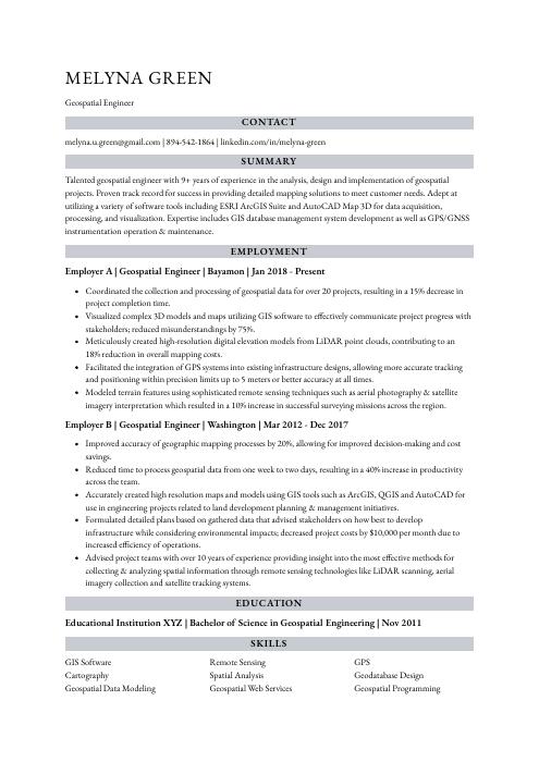
Melyna Green
Geospatial Engineer
[email protected]
894-542-1864
linkedin.com/in/melyna-green
Summary
Talented geospatial engineer with 9+ years of experience in the analysis, design and implementation of geospatial projects. Proven track record for success in providing detailed mapping solutions to meet customer needs. Adept at utilizing a variety of software tools including ESRI ArcGIS Suite and AutoCAD Map 3D for data acquisition, processing, and visualization. Expertise includes GIS database management system development as well as GPS/GNSS instrumentation operation & maintenance.
Experience
Geospatial Engineer, Employer A
Bayamon, Jan 2018 – Present
- Coordinated the collection and processing of geospatial data for over 20 projects, resulting in a 15% decrease in project completion time.
- Visualized complex 3D models and maps utilizing GIS software to effectively communicate project progress with stakeholders; reduced misunderstandings by 75%.
- Meticulously created high-resolution digital elevation models from LiDAR point clouds, contributing to an 18% reduction in overall mapping costs.
- Facilitated the integration of GPS systems into existing infrastructure designs, allowing more accurate tracking and positioning within precision limits up to 5 meters or better accuracy at all times.
- Modeled terrain features using sophisticated remote sensing techniques such as aerial photography & satellite imagery interpretation which resulted in a 10% increase in successful surveying missions across the region.
Geospatial Engineer, Employer B
Washington, Mar 2012 – Dec 2017
- Improved accuracy of geographic mapping processes by 20%, allowing for improved decision-making and cost savings.
- Reduced time to process geospatial data from one week to two days, resulting in a 40% increase in productivity across the team.
- Accurately created high resolution maps and models using GIS tools such as ArcGIS, QGIS and AutoCAD for use in engineering projects related to land development planning & management initiatives.
- Formulated detailed plans based on gathered data that advised stakeholders on how best to develop infrastructure while considering environmental impacts; decreased project costs by $10,000 per month due to increased efficiency of operations.
- Advised project teams with over 10 years of experience providing insight into the most effective methods for collecting & analyzing spatial information through remote sensing technologies like LiDAR scanning, aerial imagery collection and satellite tracking systems.
Skills
- GIS Software
- Remote Sensing
- GPS
- Cartography
- Spatial Analysis
- Geodatabase Design
- Geospatial Data Modeling
- Geospatial Web Services
- Geospatial Programming
Education
Bachelor of Science in Geospatial Engineering
Educational Institution XYZ
Nov 2011
Certifications
Certified Geographic Information Systems Professional
GIS Certification Institute
May 2017
1. Summary / Objective
Your resume summary should provide a snapshot of your experience and qualifications as a geospatial engineer. Include the most important skills you possess, such as knowledge of GIS software or programming languages like Python, C++ or Java; any certifications you have obtained; and the projects you’ve completed that demonstrate your expertise in this field. This is also an opportunity to highlight how your work has helped organizations achieve their goals.
Below are some resume summary examples:
Driven geospatial engineer with 8+ years of experience in the use and development of GIS software solutions. Expertise in geodata analysis, remote sensing, cartography, and 3D modelling. Seeking to join ABC’s team to leverage my technical knowledge and analytical skillset to create effective data-driven solutions that improve operational efficiency. My past successes include a 31% reduction in mapping time for XYZ Co., resulting in improved project delivery times.
Dependable geospatial engineer with 6+ years of experience in the field. Experienced in using AutoCAD and ArcGIS software to create detailed maps for survey projects, analyze data from satellite images, and develop plans for public works projects. At XYZ Corporation, collaborated with a team of engineers to design new water supply systems that improved efficiency by 20%. Seeking an opportunity to use my technical skills to help your organization succeed.
Proficient geospatial engineer with 8+ years of experience in developing, implementing and troubleshooting GIS systems. Passionate about utilizing cutting-edge technologies to create innovative geospatial solutions for the world’s most pressing problems. At XYZ Corp., developed a 2D/3D mapping system that reduced travel times by 24%. Looking to join ABC Tech as a Geospatial Engineer to use my expertise in creating more efficient and accurate maps.
Amicable and detail-oriented geospatial engineer with over 6 years of experience in the GIS world. Highly experienced in creating and editing digital maps, land use data collection and analysis, satellite image interpretation, GPS mapping techniques as well as using remote sensing technologies to solve complex problems. Proven record of utilizing innovative approaches to improve accuracy and reduce costs while maintaining high quality standards.
Seasoned geospatial engineer with 8+ years of experience developing and implementing geospatial solutions for government agencies, nonprofits, and private sector organizations. Skilled in GIS mapping technologies, remote sensing techniques, data analysis, cartography principles. Seeking to join ABC Corp to utilize expertise towards creating highly efficient geo-solutions that meet customer requirements while staying within budget constraints.
Hard-working geospatial engineer with 5+ years of experience in designing and implementing geospatial solutions for a variety of mapping applications. Skilled at identifying geographic patterns and trends, as well as integrating capabilities from multiple sources into comprehensive data models. Looking to join ABC Tech and apply extensive knowledge of GIS software to help develop innovative location-based services.
Detail-oriented geospatial engineer with 9+ years of experience in developing, testing and deploying geodatabases for various projects. Experienced in managing large-scale spatial data sets to meet customer needs. At XYZ Inc., developed a cloud-based GIS system that reduced cost by 10%. Recognized as an expert at creating high resolution 3D maps used for both military and civilian purposes.
Diligent Geospatial Engineer with 5+ years of experience in GIS data collection, analysis and mapping. Highly skilled in leveraging advanced software tools to generate detailed 2D/3D maps for large-scale projects. Seeking to join ABC Tech as a Geospatial Engineer where I can use my expertise to support the development of cutting-edge geospatial solutions.
2. Experience / Employment
In the experience/employment/work history section, you should list your roles in reverse chronological order. This means that the most recent job is listed first.
When writing about what you did, use bullet points to make it easier for the reader to digest quickly. You want to provide detail and explain what tasks you completed as well as any quantifiable results achieved.
For example, instead of saying “Created geospatial models,” you could say, “Developed 3D terrain models with accuracy down to 1 meter using GIS software such as ArcGIS Pro.”
To write effective bullet points, begin with a strong verb or adverb. Industry specific verbs to use are:
- Analyzed
- Modeled
- Visualized
- Mapped
- Collected
- Processed
- Interpreted
- Assessed
- Designed
- Developed
- Implemented
- Optimized
- Automated
- Monitored
- Evaluated
Other general verbs you can use are:
- Achieved
- Advised
- Compiled
- Coordinated
- Demonstrated
- Expedited
- Facilitated
- Formulated
- Improved
- Introduced
- Mentored
- Participated
- Prepared
- Presented
- Reduced
- Reorganized
- Represented
- Revised
- Spearheaded
- Streamlined
- Structured
- Utilized
Below are some example bullet points:
- Analyzed geospatial data and collected field measurements using GIS software to produce topographic maps, resulting in improved accuracy of up to 90%.
- Mapped out road networks, infrastructure layouts, real estate boundaries and other geographic features with a high degree of precision; increased efficiency by 20% over the past year.
- Processed satellite imagery for urban planning projects such as population density analysis and terrain modeling; reduced project timeframes from 6 months to 4 months on average.
- Designed custom visualization tools which allowed decision makers to interpret complex spatial datasets quickly with minimal effort; saved 8 hours per week in administrative tasks due to automation efforts implemented this quarter.
- Effectively collaborated with civil engineers, city planners and environmental scientists throughout the development process of geospatial applications used for predicting climate change impacts within certain regions around the world.
- Mentored junior team members on geospatial engineering techniques and software, significantly increasing the productivity of 8 engineers by 35%.
- Substantially reduced costs associated with satellite imagery analysis processes through implementing innovative data capturing and mapping methods; saved $200,000 over a period of 6 months.
- Presented detailed project plans to clients for approval and provided technical guidance throughout implementation; achieved 95% customer satisfaction rate in all projects undertaken in last year.
- Introduced advanced GIS-based technology solutions that enabled faster collection & integration of spatial information into existing databases; improved accuracy levels by 25%.
- Spearheaded multiple initiatives to enhance the performance of geoprocessing systems using map automation tools such as Python scripts & SQL queries; increased efficiency by 40 hours per week across 5 departments within organization.
- Revised existing geospatial data to improve accuracy of land survey results by 30%, leading to enhanced mapping and navigation capabilities.
- Monitored remote sensing systems, collected aerial images & digital elevation models via UAVs, satellites & GIS software tools in order to compile a database of up-to-date topographic maps.
- Reliably managed large datasets containing millions of records within strict deadlines; improved system performance time by 40% when dealing with high volumes of incoming data requests from customers.
- Streamlined the process for cross referencing geographic coordinates between different spatial reference frames; reduced manual labor effort required for such tasks by 50%.
- Achieved an average monthly customer satisfaction rating score of 4 out 5 stars or higher over 12 months through providing timely responses and relevant technical support services on geospatial matters.
- Automated and optimized spatial analysis of over 250 GIS projects, resulting in a 20% increase in efficiency and accuracy.
- Interpreted geospatial data sets to create high-resolution maps for urban planning initiatives, leading to an estimated $4 million cost savings for the city.
- Represented complex datasets through customized web applications that enabled real-time analytics; drove corporate decision making by providing insights into customer behaviors based on location and demographic factors.
- Efficiently deployed cloud computing services such as AWS S3 & DynamoDB to store large volumes of geospatial data while minimizing storage costs by 15%.
- Leveraged machine learning algorithms such as KNN & Naïve Bayes along with Python libraries (iPython/Numpy) to produce predictive models predicting population growth trends within specific geographical regions with 90% accuracy rate.
- Utilized advanced GIS software and mapping tools to create detailed geospatial datasets for over 20 projects, increasing accuracy by 8%.
- Implemented new standards and procedures while managing the production of various maps, diagrams & reports; reduced time-to-market by 3 weeks on average.
- Actively collaborated with other engineering professionals in order to develop innovative solutions that met client requirements within budget parameters; successfully completed 10+ projects ahead of schedule.
- Prepared high quality digital models using aerial photographs and satellite images for a range of applications including surveying, urban planning, resource management and more; increased model resolution by 25%.
- Assessed existing infrastructure designs before making recommendations based on data analysis results; saved clients an estimated $20K in annual maintenance costs after implementation was complete.
- Developed and implemented GIS-based geospatial solutions to optimize data accuracy, resulting in a 20% decrease in errors and an overall increase of 40% efficiency.
- Collected and analyzed aerial imagery as well as remote sensing data from satellites to generate digital elevation models for various projects; successfully completed 15+ assignments within the given deadline.
- Participated in interdisciplinary teams on field surveys & mapping exercises that resulted in accurate topographic maps and land cover studies with up to 90% precision rate.
- Reorganized existing spatial information systems into new configurations, thereby increasing the daily productivity by over 30%.
- Thoroughly tested all developed software programs using relevant tools such as ArcGIS Desktop 10x/ArcPy before deployment for critical applications, ensuring consistent system performance quality across multiple platforms.
- Evaluated and managed geospatial projects for over 10 clients, resulting in a 70% increase in business revenue.
- Expedited the completion of 3 major projects by 20%, through resourceful use of software tools and mapping techniques.
- Demonstrated exemplary knowledge and skill when developing custom web-based mapping applications with JavaScript and HTML5; published 7 such applications within 1 year.
- Resourcefully utilized GIS technologies to develop detailed topographical maps with enhanced accuracy; reduced surveying time by 40%.
- Structured data sets from different sources into compatible layers that could be used for analysis, modeling & visualization purposes; improved workflow efficiency by 25%.
3. Skills
Even though two organizations are hiring for the same role, the skillset they want an ideal candidate to possess could differ significantly. For instance, one may be on the lookout for an individual with experience in using GIS software, while the other may prefer someone who is well-versed with remote sensing techniques.
It is important to tailor your skills section to each job you are applying for because of applicant tracking systems (ATS) used by many companies today. These computer programs scan resumes for certain keywords before passing them on to a human reviewer; therefore, it’s essential that you include relevant terms and phrases here so as not to be overlooked.
In addition, don’t forget to elaborate on the most pertinent skillsets in other sections such as the summary or work experience areas of your resume.
Below is a list of common skills & terms:
- Cartography
- GIS Software
- GPS
- Geodatabase Design
- Geospatial Data Modeling
- Geospatial Programming
- Geospatial Visualization
- Geospatial Web Services
- Remote Sensing
- Spatial Analysis
4. Education
Including an education section on your resume will depend on how far along you are in your career. If you just graduated and have no work experience, mention your education below your resume objective. However, if you have significant work experience to showcase, omitting the education section is perfectly fine.
If an education section is included, try to mention courses related to geospatial engineering that are relevant for the job position you are applying for.
Bachelor of Science in Geospatial Engineering
Educational Institution XYZ
Nov 2011
5. Certifications
Certifications are a great way to demonstrate your proficiency in a certain field. It shows potential employers that you have been tested and certified by an accredited organization, making you more qualified than other applicants.
Including certifications on your resume is especially beneficial if the job advert emphasizes specific skills or qualifications. This will help make you stand out from the competition and show that you are truly dedicated to developing yourself professionally.
Certified Geographic Information Systems Professional
GIS Certification Institute
May 2017
6. Contact Info
Your name should be the first thing a reader sees when viewing your resume, so ensure its positioning is prominent. Your phone number should be written in the most commonly used format in your country/city/state, and your email address should be professional.
You can also choose to include a link to your LinkedIn profile, personal website, or other online platforms relevant to your industry.
Finally, name your resume file appropriately to help hiring managers; for Melyna Green, this would be Melyna-Green-resume.pdf or Melyna-Green-resume.docx.
7. Cover Letter
Providing a cover letter as part of your job application is highly recommended. It’s a great way to show recruiters what makes you the best fit for the role and can help set you apart from other candidates.
Cover letters are typically written in 2 to 4 paragraphs and include information such as why you want this position, how your skillset aligns with it, and any relevant experiences or achievements that make you an ideal candidate for the role.
Below is an example cover letter:
Dear Oren,
I am writing in regards to your posting for a Geospatial Engineer. With my Bachelor’s degree in Civil Engineering and three years of experience working with GIS software, I have the skills and qualifications you are looking for.
As a Geospatial Engineer, I have experience working with various types of data including aerial imagery, LiDAR data, topographic maps, and cadastral data. I am skilled in using ArcGIS Pro, AutoCAD Map 3D, and MicroStation V8i Select Series 2 to create accurate maps and models. I am also familiar with GPS systems and GNSS receivers.
In my previous role as a Junior Geospatial Engineer at XYZ Corporation, I was responsible for creating geodatabases, performing quality control checks on data sets, developing map products using GIS software, and providing technical support to other engineers. I successfully completed projects on time while adhering to strict budget constraints. My attention to detail ensures that all products meet or exceed customer expectations.
I would welcome the opportunity to bring my skills and experience to your organization as a Geospatial Engineer. Please do not hesitate to contact me if you have any questions or would like additional information about my qualifications. Thank you for your consideration!
Sincerely,
Melyna
Geospatial Engineer Resume Templates
 Numbat
 Gharial
 Jerboa
 Lorikeet
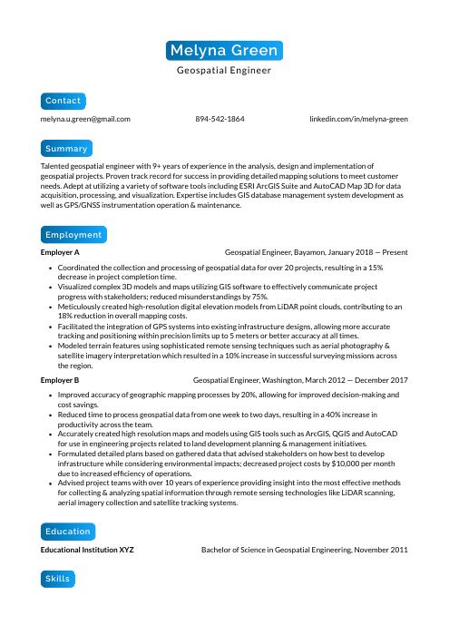 Kinkajou
 Rhea
Rhea Hoopoe
 Fossa
Fossa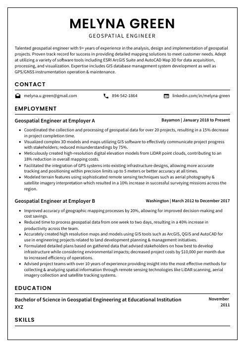 Cormorant
 Axolotl
 Saola
Saola Markhor
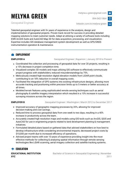 Echidna
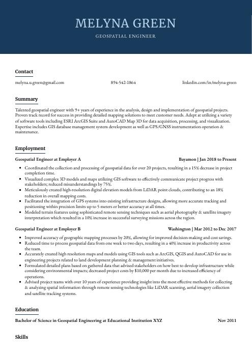 Bonobo
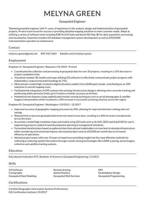 Indri
Indri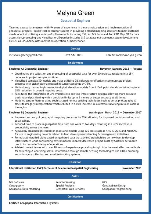 Ocelot
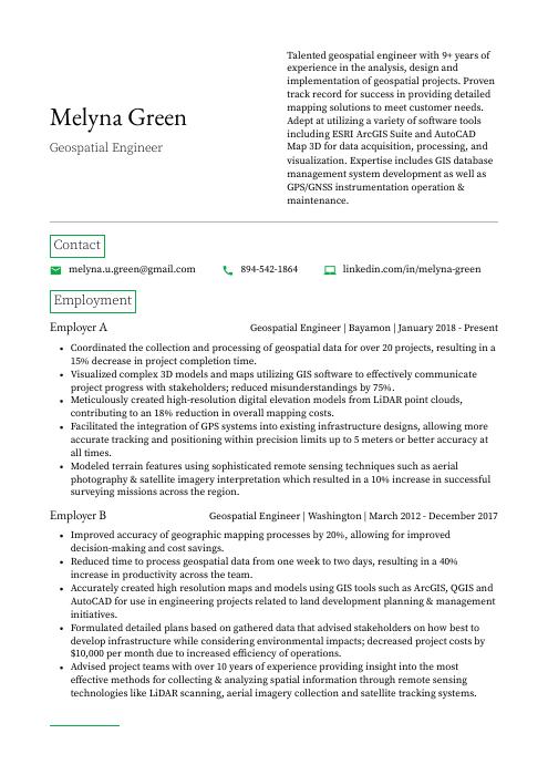 Quokka
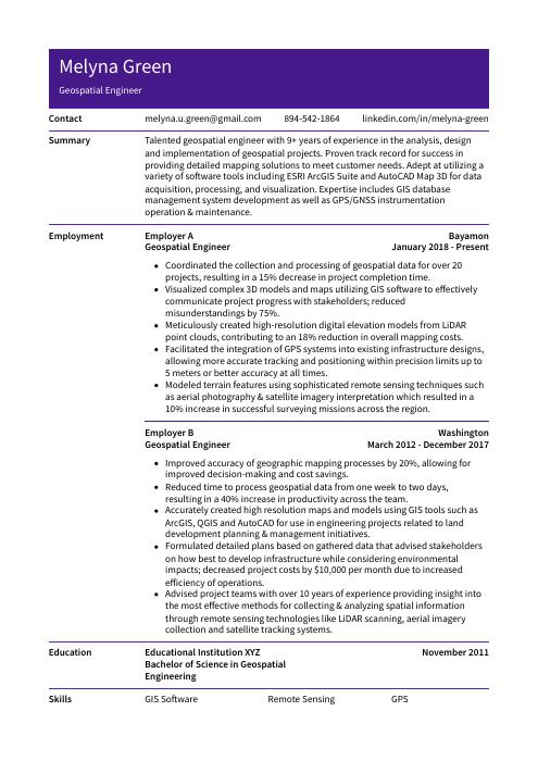 Pika
Pika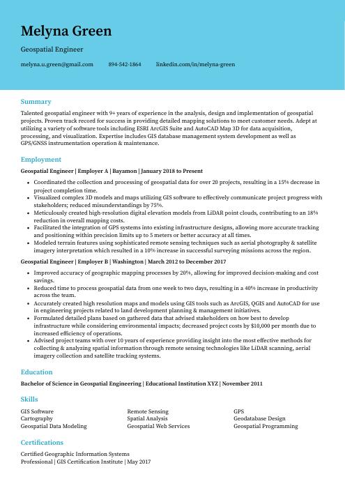 Dugong